Deep Learning, Flood Recovery, and Riparian Resilience: A Lunchtime Look at Emerging Expertise
At e2m, we are committed to continuous learning, from field techniques to frontier technologies, we’re always exploring how to deliver better, clearer insights for our clients. One way we do this is through regular “lunch and learn” sessions, where team members share innovations, research, or lessons from the field.
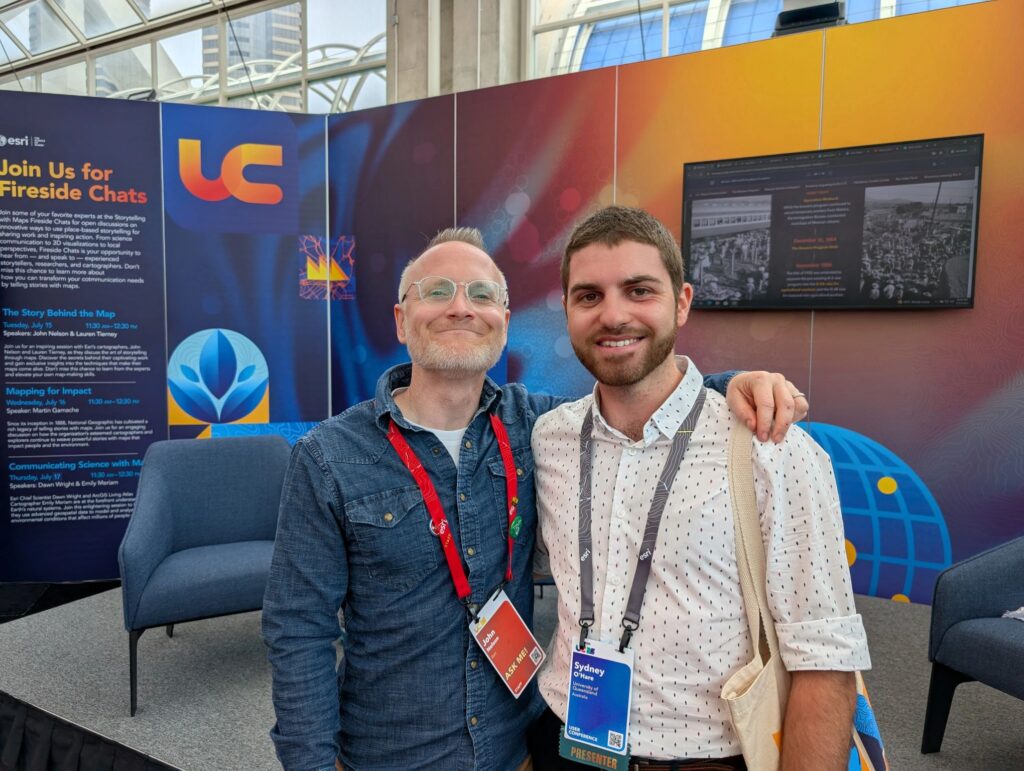
Our most recent session featured Geospatial Scientist Ecologist Sydney O’Hare, who walked the team through his Honours research which he recently presented at the ESRI User Conference in San Diego. His project explores how deep learning AI can be used to detect and monitor riparian vegetation recovery after major flood events.
Why does this matter? Riparian vegetation plays a vital role in reducing the impacts of flooding – slowing peak flow, stabilising banks, filtering sediment and nutrients, and supporting critical ecosystems downstream. But with major flood events becoming more frequent and intense due to climate change, there’s growing need to understand not just damage – but recovery.
Sydney’s project focused on the Brisbane River catchment following the 2022 floods. Using high-resolution aerial imagery and a deep learning classification model (U-Net architecture), he was able to accurately detect vegetation changes at the site level – delivering insights far more targeted than conventional catchment-scale satellite analysis.
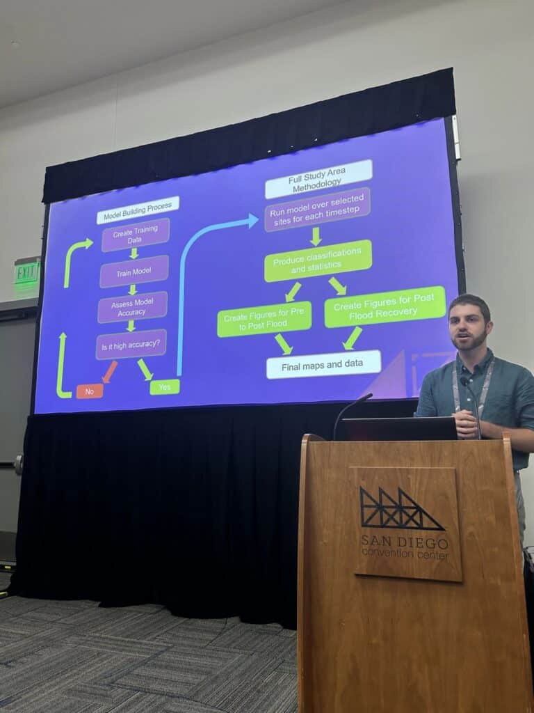
The model achieved over 90% accuracy in detecting key vegetation classes, and showed clear shifts in vegetation cover between the baseline, post-flood, and recovery periods. In some areas, low vegetation declined by 50% post-flood – only to return to near-baseline levels within a year. Other areas, such as exposed flood channels, were slower to recover – offering valuable clues for restoration priorities.
His work has real-world applications for councils, landholders, and environmental planners needing site-specific data to inform rehabilitation, conservation, and flood resilience strategies.
This presentation was a fantastic reminder of how emerging tools like AI and remote sensing can be harnessed by ecologists – especially when paired with local knowledge and ecological expertise.
We’re proud to have Sydney on the team, and even prouder to share the kind of innovative thinking that’s shaping the future of ecological monitoring.