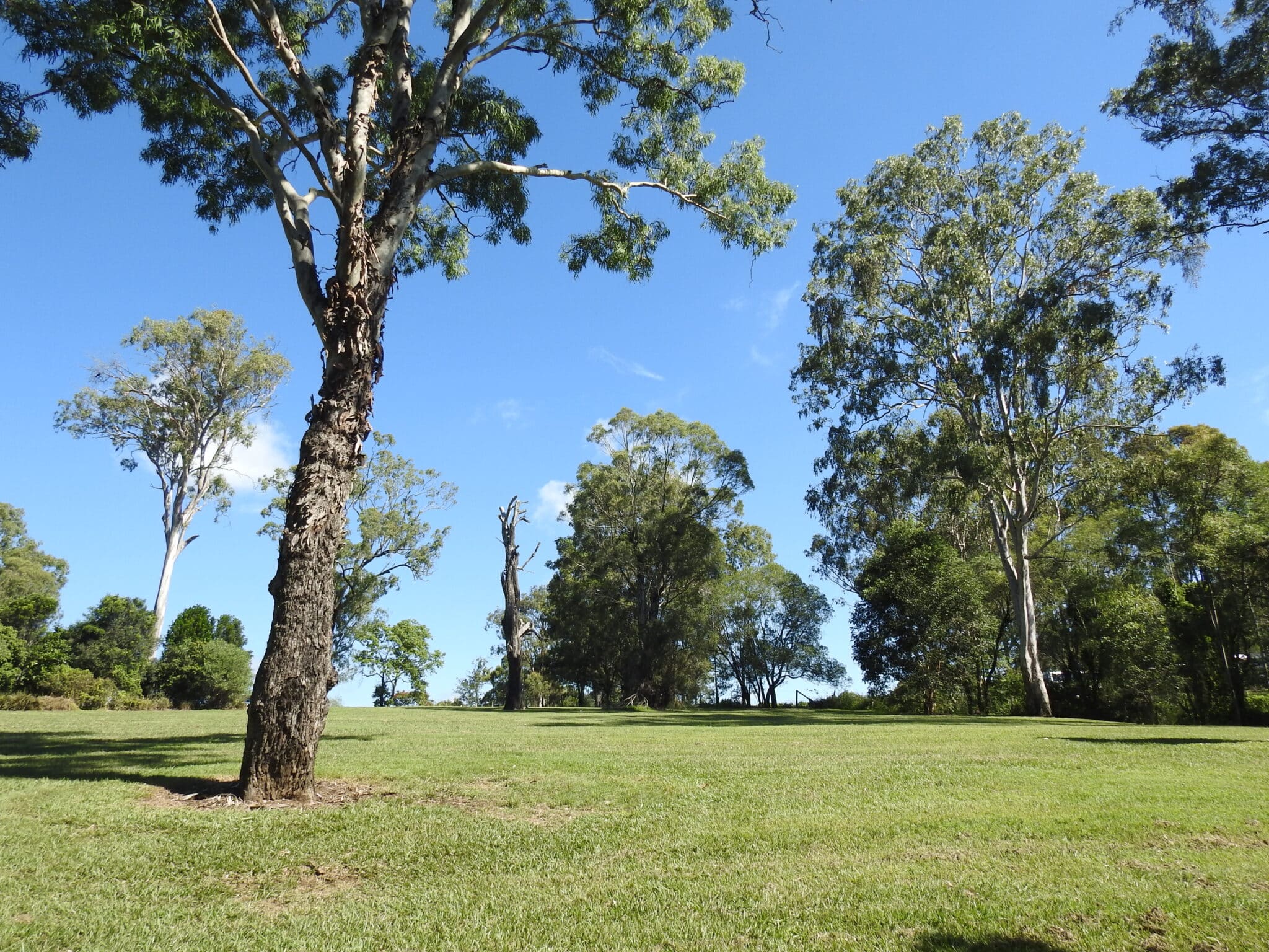

Youngs Crossing Road at Joyner is an important north-south arterial road connecting the Moreton Bay Region with Brisbane City. The road is used by approximately 20,000 vehicles every day, and traffic is forecast to increase to 22,500 vehicles by 2026 and 27,500 vehicles by 2036 Youngs Crossing has low flood immunity and since 2010 has closed an average of 4.5 days a year following rain events and water releases from North Pine Dam, causing delays, congestion on local roads and economic impacts.
Our Services
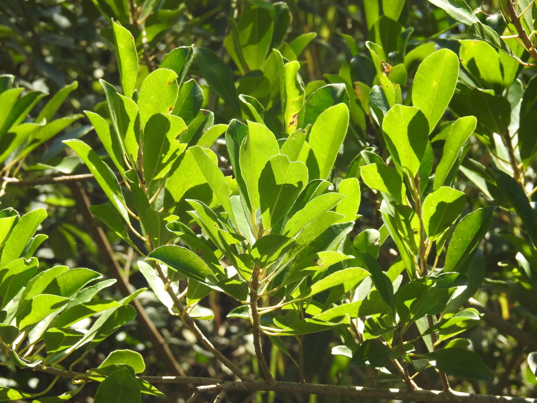
We were engaged to undertake a terrestrial ecological survey of the Study Area. This report documents the terrestrial ecological values within the Study Area and associated Disturbance area, summarising the assessment of the potential impacts and associated mitigation measures of the Project on terrestrial ecology. These ecological values include Matters of National Environmental Significance (MNES), Matters of State Environmental Significance (MSES) and Matters of Local Environmental Significance (MLES) under the Moreton Bay Regional Council Planning Policy.
We undertook a terrestrial ecological survey and prepared an Ecological Assessment.
Report (EAR) to identify environmental values and associated approval requirements for the Project including:
- A desktop assessment of relevant background information and available environmental databases
- Verification of the extent and condition of vegetation communities within the Study Area assess the likelihood of occurrence for threatened and migratory species
- Targeted surveys for threatened fauna species identified within the desktop assessment
- Identify potential animal breeding places and fauna habitat values, including for threatened fauna
- Assess and verify map Matters of Local Environmental Significance (MLES)
- Complete significant impact assessments for Matters of National Environmental Significance (MNES) and Matters of State Environmental Significance (MSES)
- Survey Non-juvenile Koala Habitat Trees (NJKHT)1 within the Disturbance area
- Detail mitigation and management strategies
- Assess fauna movement corridors to inform potential wildlife movement infrastructure design and installation
Detailed Services
- Baseline Ecological Assessment
- Threatened Species assessment and management planning
- Fauna Survey
- Biosecurity surveys
- GIS
- Map production
- Data capture programs
- Data management
- Flora and Fauna management plans
- Threatened species management plans
Outcomes
The constant changes in project design required a flexible and agile approach. The addition of marine plants requiring an additional approval. The client received the reports needed to progress approvals.