Making Big Projects Small
The scale of ecological surveys can be immense—vast landscapes, remote locations, and species that are elusive by nature. But what if we could make big projects feel smaller?
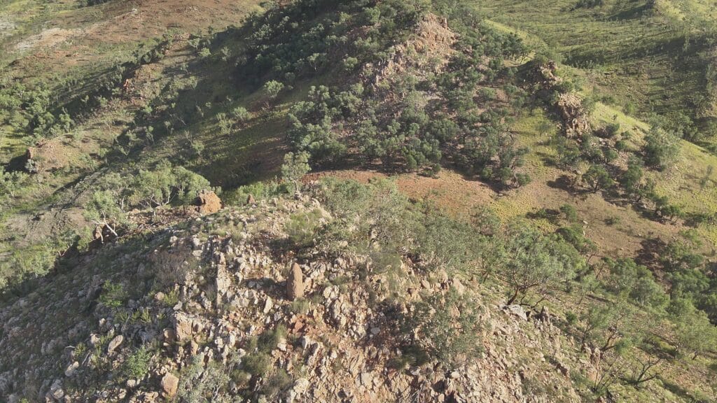
Our Chief Remote Pilot, Matt, has been testing drone technology in the field, exploring its potential to streamline ecological surveys and improve data collection.
Expanding Our Reach with Aerial Insights
Drones allow us to quickly survey vast areas that would be difficult or impossible to access on foot. In recent trials, we effectively utilised their ability to:
- Capture high-resolution aerial imagery – this allowed us to enhance vegetation mapping and classify Regional Ecosystems with greater accuracy.
- Use thermal imaging to detect wildlife in hard-to-reach locations and improve our likelihood of spotting them.
- Improve efficiency in large-scale surveys by increasing site coverage, particularly for areas with difficult access.
The Future of Drone Technology in Ecology
At E2M, we’re continuing to refine our approach—combining remote sensing with ecological expertise to deliver better insights for our clients. We look forward to providing capabilities such as:
- Broad-scale assessments of habitat health and regrowth over time.
- Accurate and efficient detection of threatened fauna using thermal imagery.
- Precise identification of invasive flora species through multispectral imaging.
Stay tuned as we continue utilising this powerful tool to enhance efficiency, accuracy, and safety in the field.