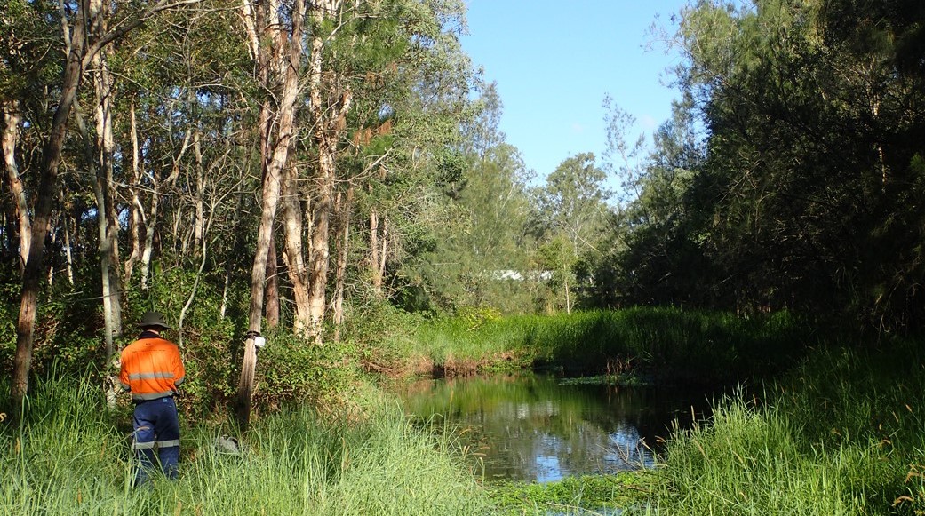

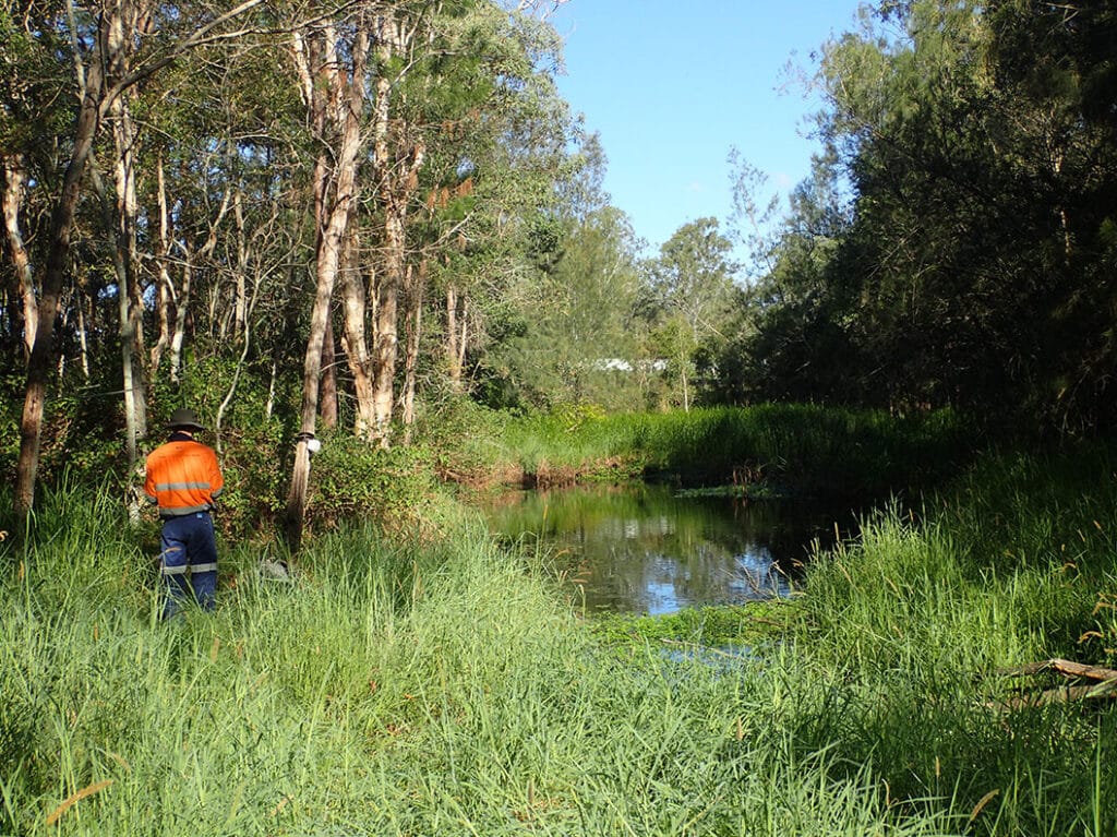
The Mount Lindesay Highway is one of Queensland’s busiest highways. Currently there are between 25,000 and 45,000 vehicles per day using sections of the highway between Browns Plains and Jimboomba.
The project is located within the Mount Lindsay Highway road corridor, from Stoney Camp Road (northern extent) to Chambers Flat Road (southern extent). The project spans approximately 3.8 km and aims to improve safety as well as reduce congestion to mitigate future use/demand for the highway.
Our Services
We were engaged to undertake a terrestrial ecological survey and prepare a
Biodiversity Assessment Report (BAR) to meet the requirements of the Terms of Reference for the project including:
- A desktop assessment of relevant background information and available environmental databases.
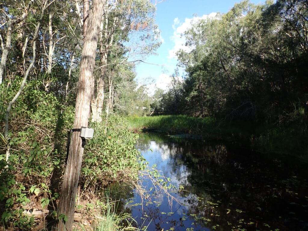
- Verify the extent and condition of vegetation communities within the Study Area.
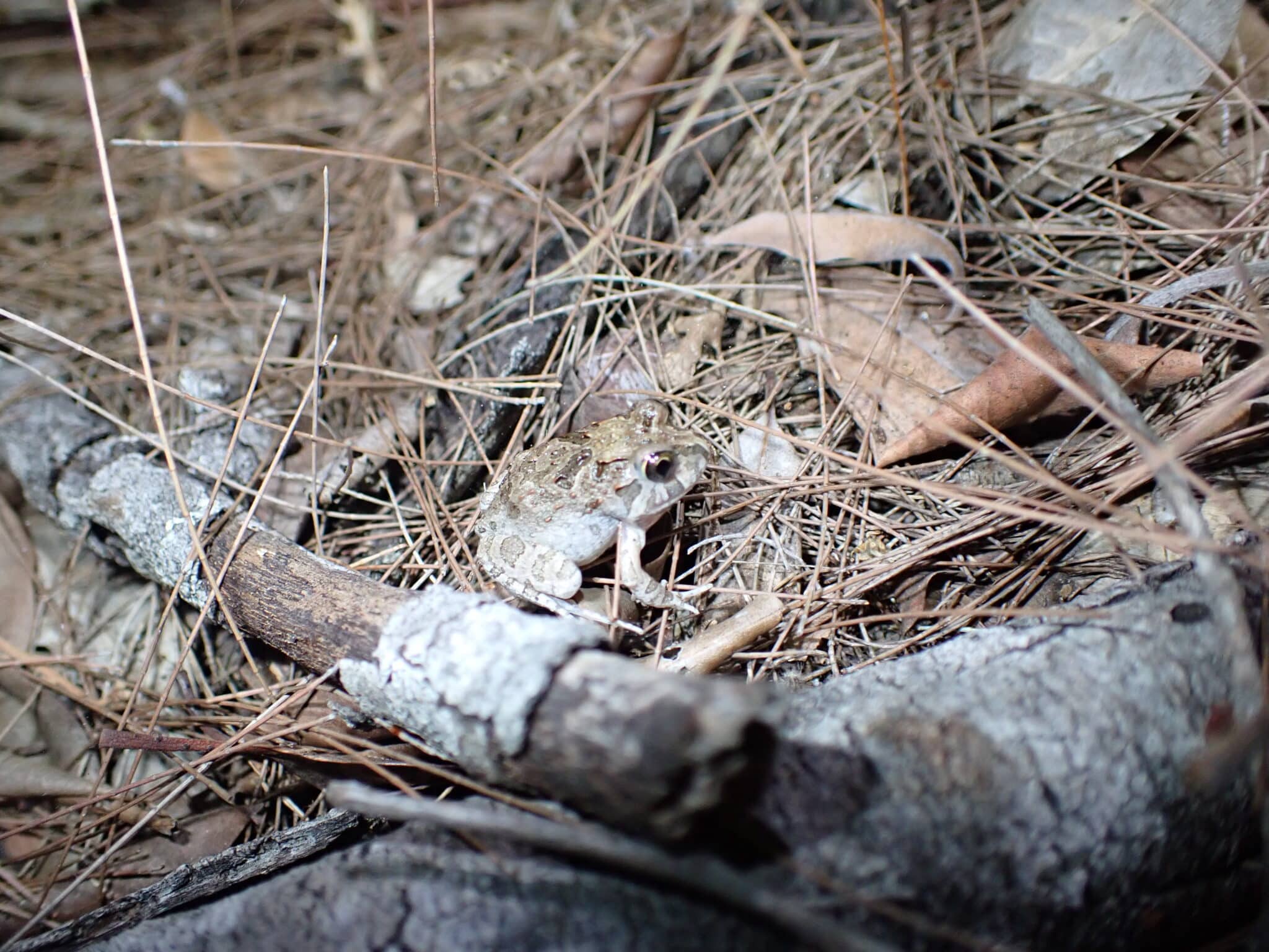
- Assess the likelihood of occurrence for threatened and migratory species to determine requirements
- Undertake targeted surveys for threatened fauna species identified within the desktop assessment.
- Identify potential animal breeding places and fauna habitat values, including for threatened fauna
- Complete significant impact assessments for all threatened and migratory species identified as known or likely to occur
- Survey Non-juvenile Koala Habitat Trees (NJKHT)1 within the proposed disturbance footprint to identify offset obligations in accordance with DTMR’s Koala Memorandum of Agreement and the Koala Conservation State Planning Regulatory Provisions.
- Detail mitigation and management strategies (where required) which avoid or reduce identified impacts and enable the development to meet regulatory conservation obligations
- Assess fauna movement corridors to inform potential wildlife movement infrastructure design and installation
Detailed Services
- Threatened Species assessment and management planning
- Fauna surveys
- Biodiversity surveys
- Regional Ecosystem Verification
- GIS
- Map production
- Data capture programs
- Data management
- Flora and Fauna management plans
Outcomes
Design modifications were made to the enable the easy movement of fauna. The client received the reports needed to secure approvals.